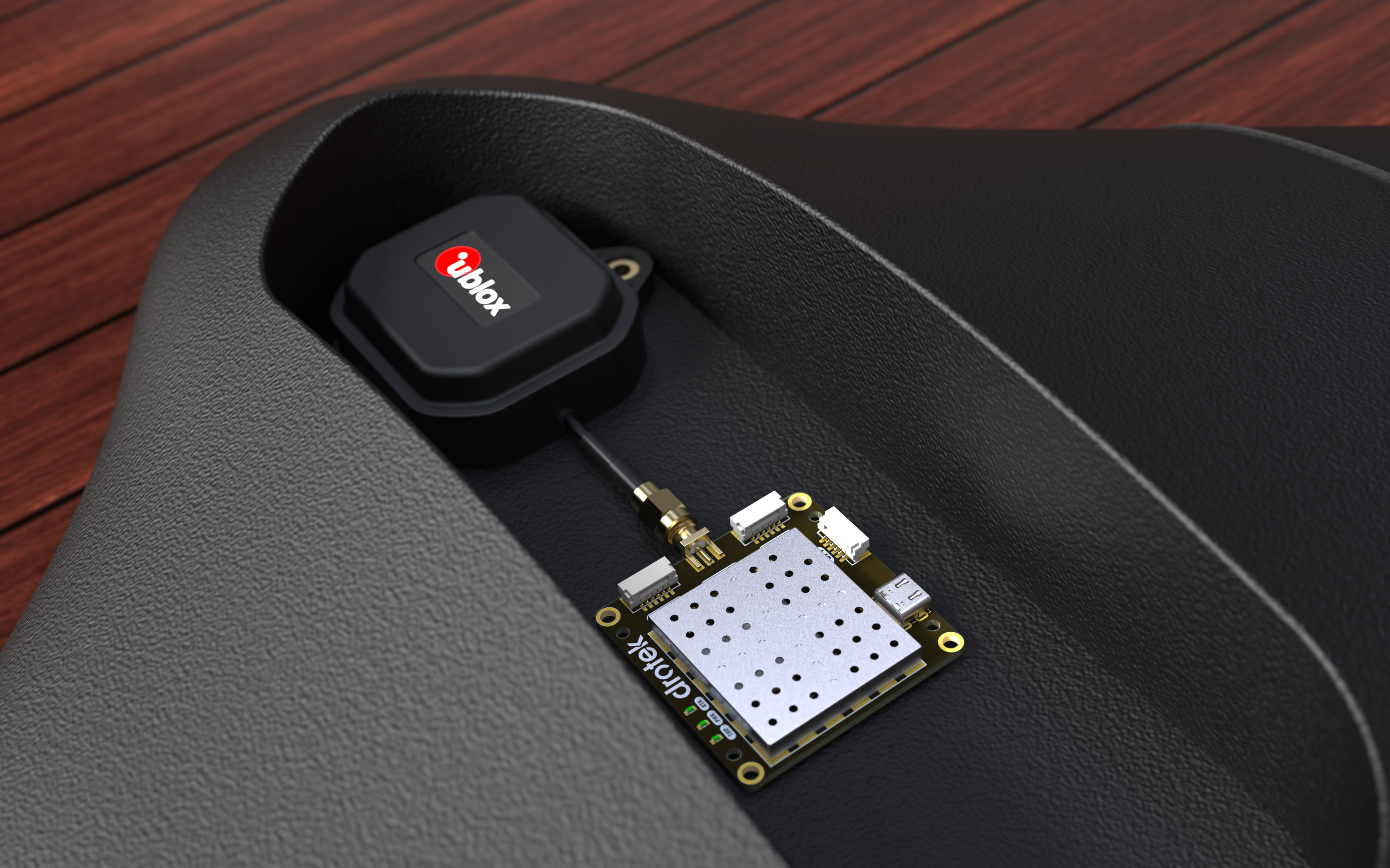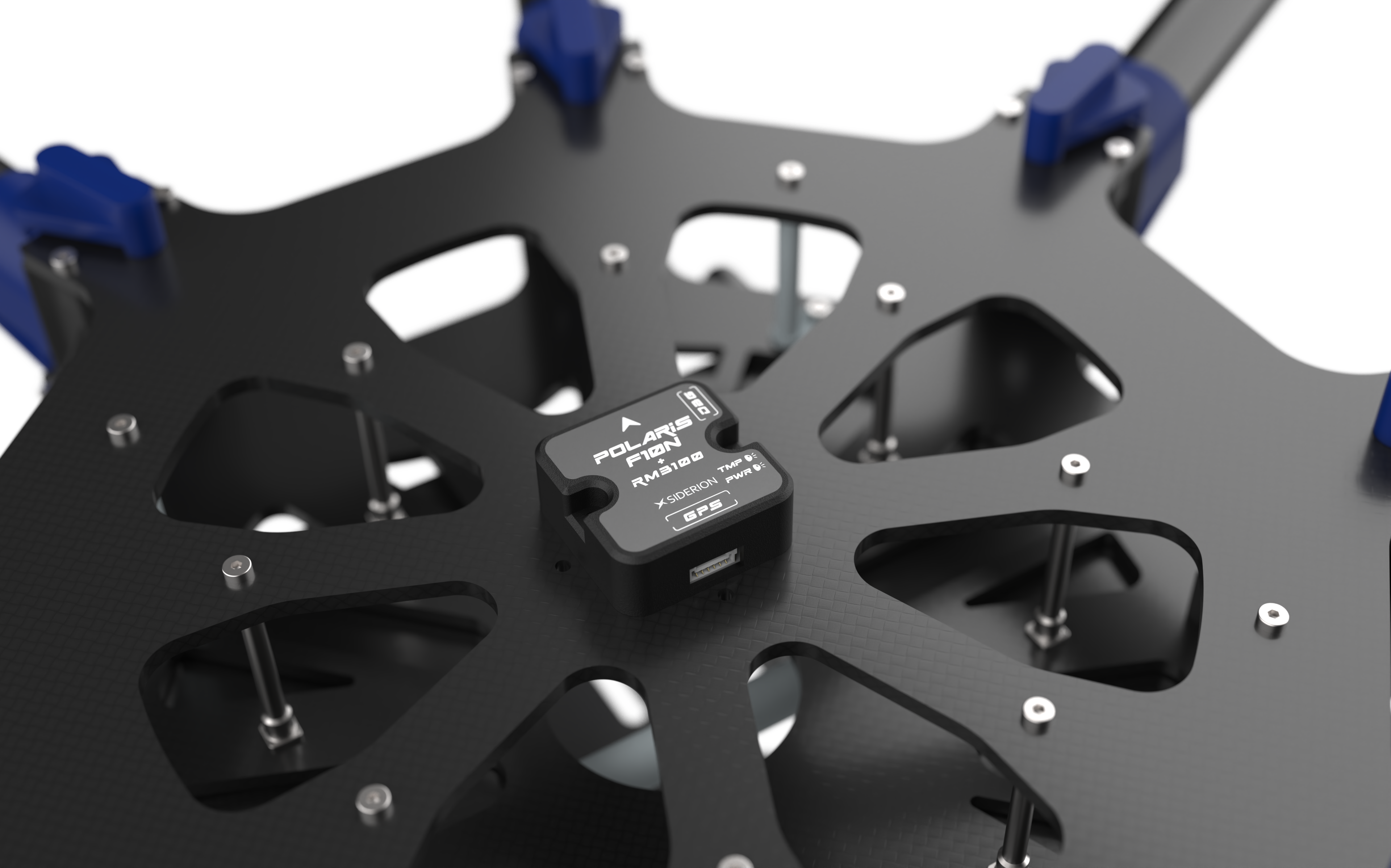
In the rapidly evolving world of autonomous systems, drones, and precision navigation, the demand for high-accuracy, reliable, and compact GNSS solutions has never been greater. The Siderion Polaris F10N is a cutting-edge GNSS module that combines the u-blox DAN-F10N dual-band L1/L5 GNSS receiver, the RM3100 high-precision magnetometer, and the BMP581 barometric pressure sensor into a single, integrated package. This powerful trio delivers meter-level positioning accuracy, stable heading, and precise altitude data—all in a compact, easy-to-integrate form factor.
This article explores its technical specifications, use cases, setup, and why it’s a game-changer for professionals in aeronautics, robotics, and autonomous systems.

Technical Specifications
1. u-blox DAN-F10N GNSS Module
- GNSS Bands: L1 and L5 dual-band for enhanced multipath mitigation and urban accuracy.
- Accuracy: Meter-level positioning in challenging environments (urban canyons, dense foliage).
- Antenna: Integrated 20×20×8 mm RHCP patch antenna, with support for external antennas.
- Constellations: GPS, GLONASS, Galileo, BeiDou, QZSS.
- Interfaces: UART, I2C (for configuration and data output).
- Power Consumption: Ultra-low, ideal for battery-powered applications.
- Features: SAW-LNA-SAW RF architecture with LTE B13 notch filter for interference resistance, AssistNow A-GNSS for faster satellite acquisition, and u-center 2 software support for real-time analysis and configuration.
2. RM3100 Magnetometer
- Resolution: 10 nT, with 23× better resolution and 33× lower noise than traditional Hall-effect sensors.
- Technology: Magneto-inductive, ensuring zero drift, no hysteresis, and superior environmental resistance.
- Interface: I2C.
- Use Case: Provides stable, noise-free heading and orientation for drones, robots, and autonomous vehicles, even in high-interference environments.
3. BMP581 Barometric Pressure Sensor
- Resolution: 1/64 Pa (0.015 hPa), with absolute accuracy of ±0.3 hPa.
- Pressure Range: 30 to 125 kPa, suitable for altitude measurement up to ~9,000 meters.
- Features: On-chip linearization and temperature compensation, FIFO buffer for up to 32 samples, and output data rates up to 622 Hz.
- Interface: I2C.
- Use Case: Delivers high-precision altitude data for drones, UAVs, and wearable/industrial applications.

Key Advantages
1. Dual-Band GNSS for Urban and Challenging Environments
The DAN-F10N’s L1/L5 dual-band support significantly reduces multipath errors, a common issue in urban areas or near reflective surfaces. This ensures reliable meter-level accuracy, even where single-band GNSS modules struggle.
2. Integrated Magnetometer for Stable Heading
The RM3100 eliminates magnetic interference from motors, power lines, and metal structures, providing clean, drift-free heading data. This is critical for autonomous navigation, waypoint following, and attitude control in drones and robots.
3. Barometric Altitude for 3D Positioning
The BMP581 adds high-resolution altitude data, enabling 3D positioning (latitude, longitude, and altitude) without relying solely on GNSS. This is especially useful for drone landing, terrain following, and indoor navigation where GNSS signals may be weak or unavailable.
4. Compact, All-in-One Design
The Polaris F10N integrates GNSS, magnetometer, and barometer into a single module, reducing wiring complexity and saving space—ideal for drones, compact robots, and portable devices.
5. Easy Integration and Configuration
- Plug-and-play with popular flight controllers (Pixhawk, ArduPilot, PX4).
- u-center 2 software for real-time GNSS analysis and configuration.
- Standard protocols (UBX, NMEA) and open-source libraries for quick development.
Use Cases
Drones and UAVs
- Precision Navigation: Combines GNSS, magnetometer, and barometer for stable position hold, waypoint navigation, and autonomous landing.
- Urban and Indoor Flight: Dual-band GNSS and barometric altitude enable reliable operation in GPS-denied environments.
- Surveying and Mapping: Meter-level accuracy for photogrammetry, LiDAR, and agricultural spraying.
Autonomous Vehicles and Robotics
- Self-Driving Cars: Provides high-accuracy localization for path planning and obstacle avoidance.
- Industrial Robots: Enables precise movement and orientation in warehouses or outdoor environments.
- Delivery Drones: Ensures safe, accurate navigation in urban and suburban areas.
Aeronautics and Aviation
- General Aviation: Used in EFB (Electronic Flight Bag) systems for backup navigation and attitude reference.
- UAM (Urban Air Mobility): Supports eVTOL (electric Vertical Take-Off and Landing) vehicles with reliable positioning and heading.
Industrial and Scientific Applications
- Asset Tracking: High-precision location and orientation for logistics and fleet management.
- Environmental Monitoring: Barometric and GNSS data for weather stations, climate research, and disaster response.

Setup and Integration
Hardware Setup
- Connections: The Polaris F10N typically interfaces via UART (for GNSS data) and I2C (for RM3100 and BMP581).
- Power: Operates on 5V, compatible with most embedded systems.
- Antenna Placement: For best GNSS performance, mount the module with a clear view of the sky, away from obstructions or electromagnetic interference.
Software Integration
1. GNSS (DAN-F10N)
- Use u-center 2 to configure the module, monitor satellite acquisition, and log data.
- For ArduPilot/PX4, connect the UART to your flight controller’s GPS port and set the GNSS protocol to UBX.
- Enable AssistNow A-GNSS for faster cold starts.
2. Magnetometer (RM3100)
- Connect via I2C and read the 24-bit magnetic field data.
- Calibrate using QGroundControl or Mission Planner for optimal heading accuracy.
- Integrate with your AHRS (Attitude and Heading Reference System) for stable orientation.
3. Barometer (BMP581)
- Read pressure and temperature via I2C.
- Use the on-chip linearization to convert raw data to altitude (meters).
- Fuse with GNSS data in your EKF (Extended Kalman Filter) for robust 3D positioning.
Flight Controller Integration (Pixhawk/ArduPilot)
- Connect the Polaris F10N to your flight controller’s GPS port.
- Configure the GNSS protocol (UBX) and external compass/magnetometer in Mission Planner or QGroundControl.
- Calibrate the RM3100 and BMP581 using the built-in tools.
- Verify 3D position hold and autonomous navigation in a test flight.
Pros and Cons
| Pros | Cons |
| Dual-band L1/L5 GNSS for urban accuracy | Higher cost than single-band standard GNSS modules |
| Integrated RM3100 and BMP581 for stable heading and precise altitude | Requires careful placement for best performance |
| Compact, all-in-one design | Advanced features require familiarity with u-center 2 |
| Low power, easy integration |
Real-World Example: Drone Navigation
In a recent fixed-wing drone project, the Polaris F10N provided meter-level GNSS accuracy, drift-free heading, and precise altitude hold—even in a GPS-denied urban canyon. The RM3100’s noise immunity and BMP581’s high-resolution altitude allowed the drone to maintain stable flight and land safely without relying on external corrections.

Conclusion
The Siderion Polaris F10N is a powerhouse of precision navigation, combining dual-band GNSS, a high-end magnetometer, and a barometric sensor into a single, robust module. Whether you’re building drones, autonomous vehicles, or industrial robots, the Polaris F10N delivers the accuracy, reliability, and ease of integration needed for mission-critical applications.