In the world of precision navigation, surveying, and autonomous systems, Real-Time Kinematic (RTK) GNSS technology is the gold standard for achieving centimeter-level accuracy.
The Siderion DP0601, powered by the u-blox ZED-F9P module, is a compact, high-performance RTK GNSS solution designed for professionals who demand reliability, ease of integration, and sub-centimeter positioning.
This article explores its technical specifications, use cases, setup, and why it’s a top choice for high-precision applications.

Technical Specifications
Core Features
- GNSS Module: u-blox ZED-F9P, the industry-leading multi-band RTK GNSS receiver.
- Accuracy: Centimeter-level (RTK fixed), with 1 cm horizontal and 2 cm vertical precision.
- Convergence Time: Under 10 seconds (with RTK corrections).
- Update Rate: Up to 20 Hz, ideal for dynamic applications like drones and fast-moving rovers.
- Constellations: GPS, GLONASS, Galileo, BeiDou, QZSS, ensuring global coverage and redundancy.
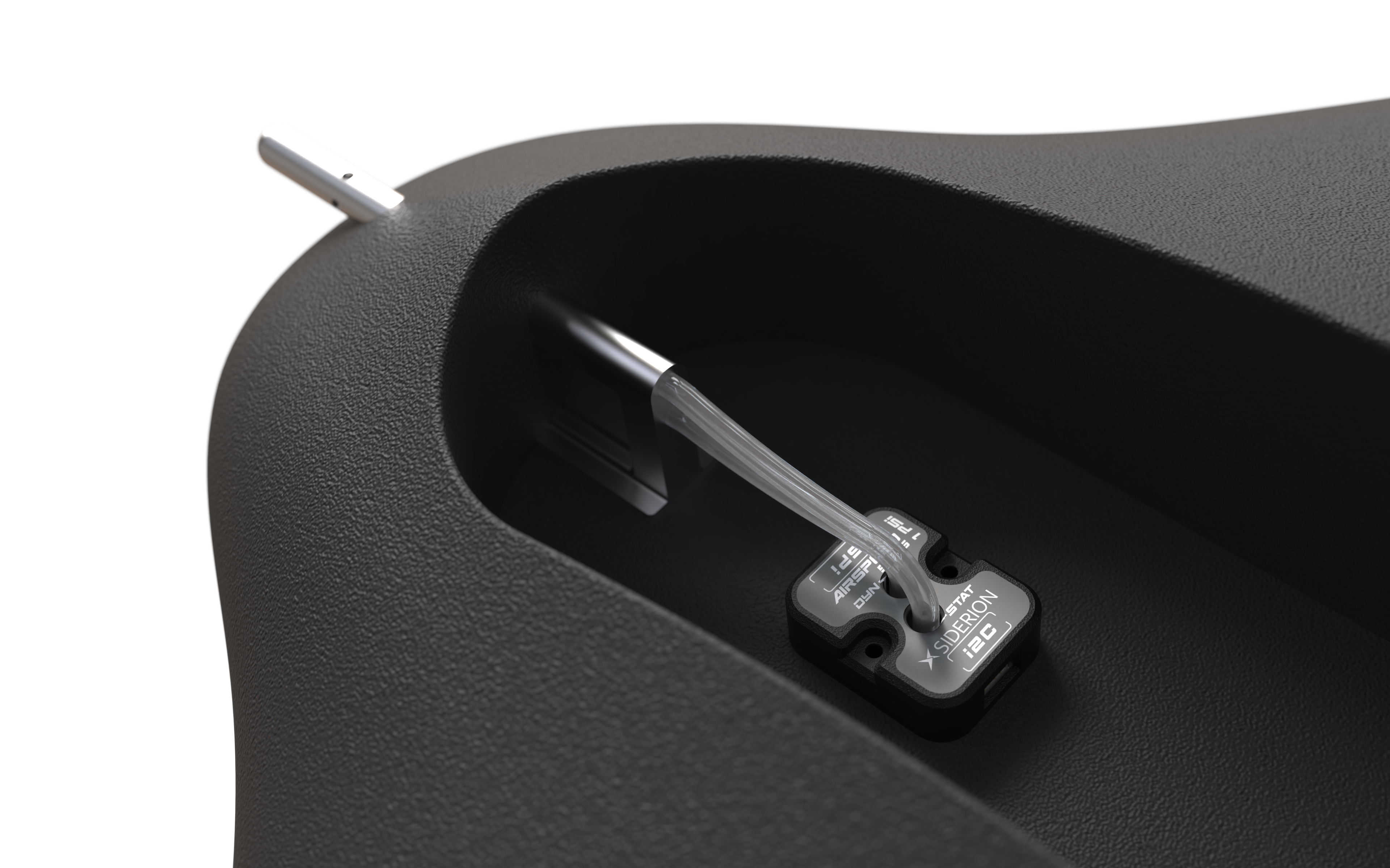
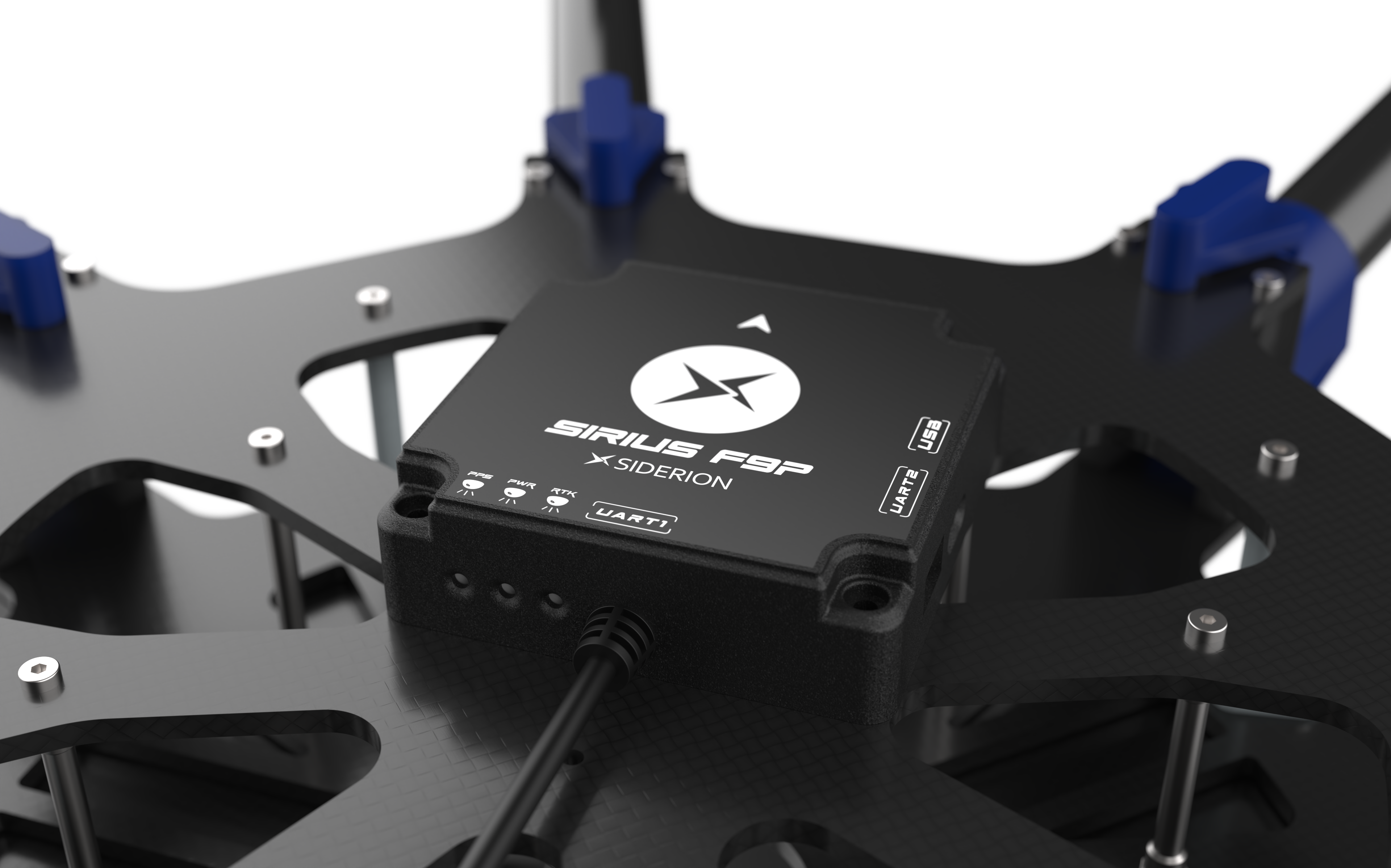
- Interfaces: UART, USB, I2C, SPI, for flexible integration with flight controllers, microcontrollers, and industrial systems.
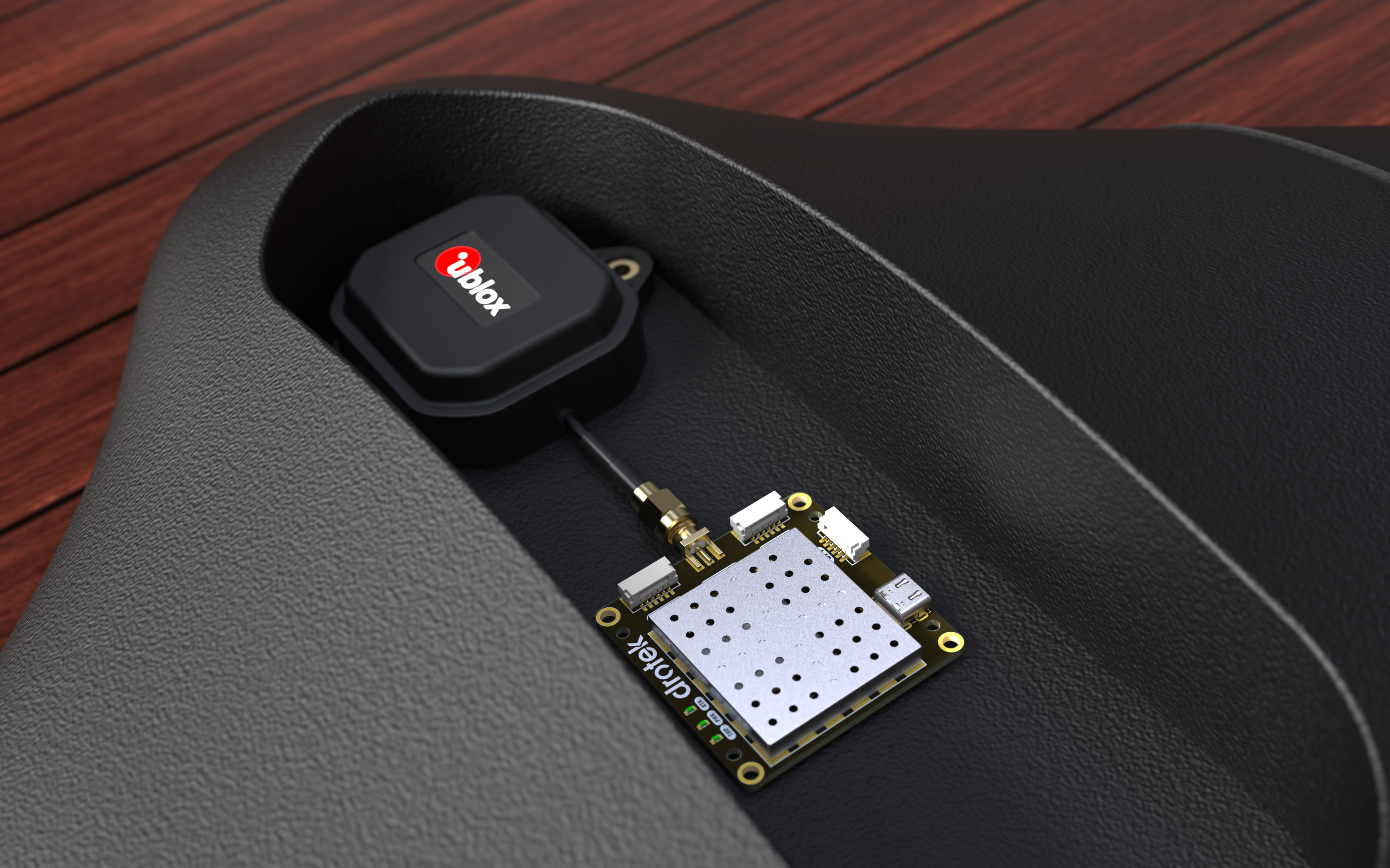
- Antenna: SMA connector for an active patch antenna, optimized for multi-band L1/L2 reception.
- Power Consumption: Low power, suitable for battery-powered applications.
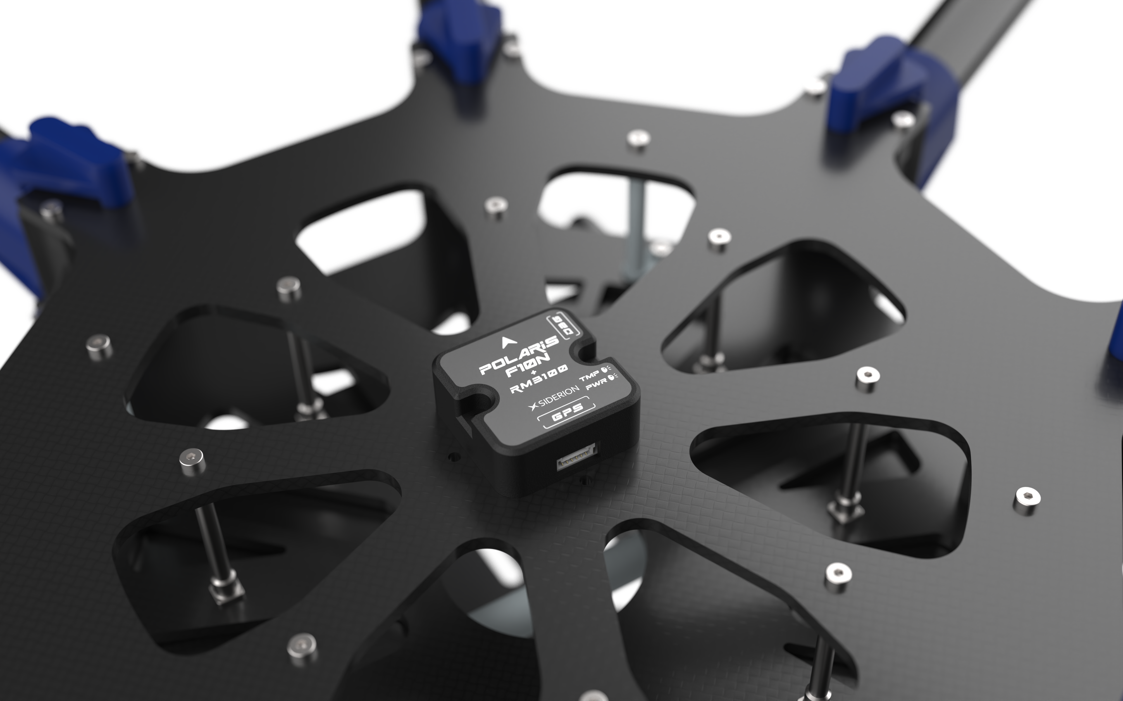
- Form Factor: Compact and rugged, designed for easy integration into drones, robots, and embedded systems.

Why Multi-Band RTK Matters
The ZED-F9P’s multi-band (L1/L2) support significantly reduces ionospheric errors and multipath interference, which are common in urban or foliage-dense environments. This results in faster RTK convergence and more reliable centimeter-level accuracy, even in challenging conditions.
Key Advantages
1. Centimeter-Level Accuracy
The DP0601 delivers 1 cm horizontal and 2 cm vertical accuracy in RTK mode, making it ideal for:
- Drone surveying and photogrammetry
- Precision agriculture (spraying, planting, soil analysis)
- Construction and land surveying
- Autonomous vehicle navigation
- Robotics and industrial automation
2. Fast Convergence and High Update Rate
With a convergence time under 10 seconds and a 20 Hz update rate, the DP0601 ensures real-time, responsive positioning—critical for dynamic applications like drone flight or fast-moving rovers.
3. Robustness in Challenging Environments
- Urban Canyons and Dense Foliage: The multi-band RTK and advanced interference mitigation (SAW-LNA-SAW RF architecture) ensure reliable performance where single-band GNSS struggles.
- Industrial and Agricultural Settings: The rugged design and wide operating temperature range make it suitable for harsh environments.
4. Easy Integration
- Plug-and-Play: The DP0601 is compatible with Pixhawk, ArduPilot, PX4, and other flight controllers via standard UART or CAN bus.
- u-center 2 Support: Use u-blox’s u-center 2 software for real-time monitoring, configuration, and data logging.
- RTK Corrections: Supports RTCM3, NTRIP, and L-Band for flexible RTK correction sources.
5. Compact and Rugged Design
The small form factor and durable construction make the DP0601 easy to integrate into drones, rovers, and industrial equipment without adding bulk or weight.
Use Cases
Drones and UAVs
- Precision Surveying: Achieve survey-grade accuracy for 3D mapping, LiDAR, and photogrammetry.
- Autonomous Flight: Enable reliable waypoint navigation, obstacle avoidance, and precision landing.
- Agricultural Drones: Support variable rate application (VRA) and autonomous spraying with centimeter-level precision.
Surveying and GIS
- Land Surveying: Replace traditional total stations with RTK GNSS for faster, more efficient data collection.
- Construction Layout: Stake out points with centimeter precision, reducing errors and rework.
Autonomous Vehicles and Robotics
- Self-Driving Cars: Provide high-accuracy localization for path planning and safety systems.
- Industrial Robots: Guide AGVs (Automated Guided Vehicles) in warehouses or manufacturing plants.
- Delivery Drones: Ensure safe, precise navigation in urban and suburban environments.
Scientific and Industrial Applications
- Environmental Monitoring: Track assets or collect geospatial data in remote or harsh conditions.
- Marine and Offshore: Use for hydrographic surveying and vessel positioning.

Setup and Integration
Hardware Setup
- Rover Mode: Connect the DP0601 to your autopilot (e.g., Pixhawk) via UART or CAN bus. The module is plug-and-play with most PX4/ArduPilot systems.
- Base Mode: Use the DP0601 as a rover with an external RTK base station (e.g., Siderion Sirius RTK Base) for centimeter-level corrections.
- Antenna Placement: Mount the active patch antenna with a clear view of the sky, away from obstructions or electromagnetic interference.
Software Configuration
- Firmware: Use u-center 2 to configure the ZED-F9P, update firmware, and monitor performance.
- RTK Corrections: Transmit RTCM3 messages from your base station to the rover via radio telemetry, cellular, or LoRa.
- Calibration: Perform a GNSS survey-in for the base station (if applicable) and verify RTK fix status in your ground control station (e.g., QGroundControl or Mission Planner).
Example PX4/ArduPilot Setup
- Connect the DP0601 to your flight controller’s GPS port.
- Configure the autopilot to use RTK GPS and set the GNSS protocol to UBX.
- Enable RTK corrections via MAVLink or serial telemetry.
- Verify RTK fix status (float/fixed) in your ground station software.
Tips for Best Performance
- Base Station Setup: For maximum accuracy, place the base station on a known coordinate or perform a survey-in.
- Power Management: Use a stable power supply to avoid voltage drops, which can disrupt RTK fixes.
- Antenna Orientation: Ensure the patch antenna is level and unobstructed for optimal signal reception.
Real-World Performance
In field tests, the DP0601 consistently achieved 1 cm accuracy within seconds, even in urban environments with significant multipath interference. The multi-band support and robust RF design ensured stable RTK fixes, while the high update rate provided smooth, responsive navigation for drones and rovers.

Conclusion
The Siderion DP0601 is a high-performance, reliable RTK GNSS module that delivers centimeter-level precision for demanding applications. Its multi-band support, fast convergence, and rugged design make it ideal for drones, autonomous vehicles, surveying, and industrial automation. Whether you’re mapping, surveying, or developing autonomous systems, the DP0601 provides the accuracy and robustness required for mission-critical operations.