
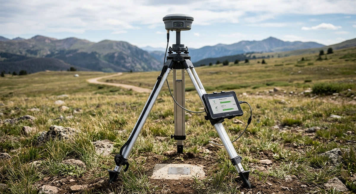
High-accuracy positioning for mapping and surveying
Accurate maps start with accurate positioning.
Whether you're surveying land, generating 3D models, monitoring infrastructure or collecting aerial geospatial data, every measurement depends on knowing exactly where it was taken.
Siderion provides compact RTK GNSS and navigation solutions for mapping and surveying platforms that require precise, reliable positioning.
Explore mapping & surveying solutions →
Position every measurement accurately
Modern surveying workflows increasingly rely on drones, mobile platforms and automated data collection.
These systems need positioning hardware capable of producing highly accurate georeferenced data while remaining compact enough to integrate into the platform.
Siderion's RTK GNSS modules provide the positioning foundation for these applications.
High-precision RTK
Multi-band GNSS with RTK correction enables centimeter-level positioning for demanding mapping applications. SSiderion
Fast convergence
Rapid RTK convergence helps platforms achieve high-precision positioning quickly after startup or signal recovery.
High-rate positioning
Position updates of up to 20–25 Hz are available on selected Siderion modules, supporting dynamic aerial and ground-based mapping platforms. SSiderion+1
Compact integration
Small, lightweight modules can be integrated directly into drones, survey equipment, mobile robots and other data-collection platforms.
From drone surveys to ground mapping
Drone surveying
Accurately georeference aerial imagery and survey data collected by UAVs.
Photogrammetry
Provide precise positioning data to support the creation of accurately referenced 2D and 3D datasets.
Land surveying
Support high-precision positioning for professional surveying equipment and field systems.
Infrastructure mapping
Collect repeatable, accurately positioned data around roads, buildings, utilities and other assets.
Topographic mapping
Capture spatial data with the positional accuracy required for detailed terrain and site analysis.
A complete positioning foundation
Mapping systems often require more than latitude and longitude.
Siderion products can combine several critical navigation measurements in a single compact module.
The Pioneer F20P, for example, combines triple-band RTK GNSS with RM3100 magnetometer and BMP581 pressure sensing, providing position, heading and altitude data in one embedded solution.
This approach can simplify system architecture while reducing the number of individual sensors that need to be integrated.
Built for professional data collection
Surveying and mapping platforms need consistent results.
Siderion navigation hardware is designed to support:
- RTK positioning
- Multi-band GNSS
- High-rate position updates
- Heading measurement
- Altitude measurement
- Base/rover configurations
- Standard communication interfaces
- Compact UAV and robotic integration
Whether you're building a survey drone, autonomous mapping platform or professional positioning system, Siderion gives you the hardware foundation for precise geospatial data.
Make every measurement count.
Explore RTK GNSS modules →
Request a quote →