
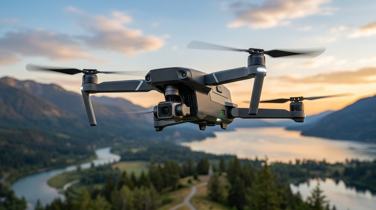
High-precision navigation hardware for drones and UAVs
From autonomous flight to aerial inspection, surveying and data acquisition, modern UAVs need more than a reliable GNSS signal. They need accurate positioning, stable heading, precise altitude data and fast, dependable navigation.
Siderion develops compact embedded navigation solutions designed to give UAV platforms the positioning and sensor data they need to fly, navigate and operate with confidence.
Explore our GNSS & navigation solutions →
Built for demanding aerial applications
UAVs operate in dynamic environments where every gram, millimeter and millisecond matters.
Siderion combines multi-band GNSS, RTK positioning, magnetic heading and pressure sensing in compact modules that can be integrated directly into your aircraft electronics.
Whether you're developing a lightweight drone, an industrial UAV or an autonomous aerial platform, our hardware is designed to fit the constraints of real-world systems.
Centimeter-level positioning
RTK-enabled GNSS provides highly accurate positioning for applications where standard GNSS is not enough.
Reliable heading
High-performance magnetometers provide precise heading information, helping your flight controller maintain orientation and trajectory.
Accurate altitude
Integrated barometric sensing adds precise vertical information to your navigation system.
Fast, real-time data
High update rates provide the responsiveness required by autonomous and dynamic aerial platforms.
Compact integration
Small form factors and low-power interfaces make Siderion modules suitable for space- and weight-constrained UAV designs.
From takeoff to autonomous flight
Reliable navigation is at the heart of every professional UAV.
Siderion positioning modules can provide the navigation data required by autopilots and flight-control systems, with interfaces and protocols designed for straightforward integration.
Our solutions support applications including:
- Autonomous flight
- Aerial surveying
- Drone mapping
- Infrastructure inspection
- Precision agriculture
- Photogrammetry
- Industrial UAVs
- Research and development platforms
One navigation platform. Multiple UAV applications.
Surveying & mapping
Capture accurately georeferenced aerial data with high-precision RTK positioning.
Inspection
Maintain reliable positioning when collecting repeatable data around infrastructure, buildings and industrial assets.
Autonomous operations
Give your flight controller accurate position, heading and altitude information for autonomous missions.
Precision agriculture
Enable accurate flight paths and repeatable positioning for crop monitoring and field operations.
Designed for integration
Siderion products are built as embedded components rather than complete drone systems. That means you can integrate the navigation technology directly into your own platform.
Our GNSS modules support interfaces including USB, UART, I²C and SPI, with selected products offering MAVLink compatibility for direct integration with popular autopilot architectures.
Build your next UAV around precise navigation.
Explore GNSS modules →
Contact our team →